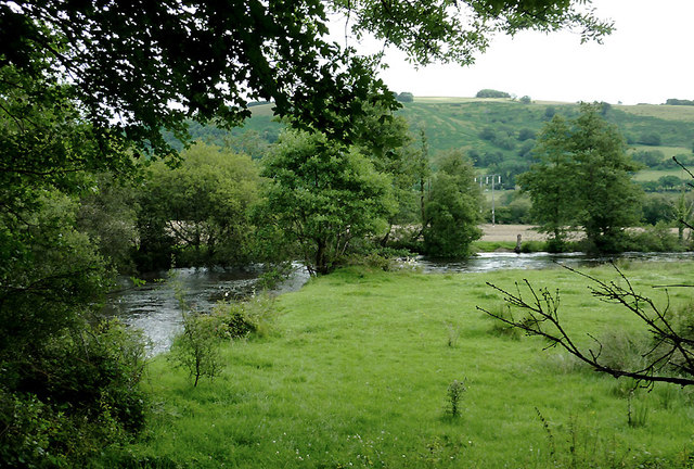
Pasture by the Afon Teifi south of Pont Gogoyan, Ceredigion
Introduction
The photograph on this page of Pasture by the Afon Teifi south of Pont Gogoyan, Ceredigion by Roger D Kidd as part of the Geograph project.
The Geograph project started in 2005 with the aim of publishing, organising and preserving representative images for every square kilometre of Great Britain, Ireland and the Isle of Man.
There are currently over 7.5m images from over 14,400 individuals and you can help contribute to the project by visiting https://www.geograph.org.uk

Image: © Roger D Kidd Taken: 20 Jul 2011
This shows the flood plain where the river meanders south-west of Llanddewi-Brefi. The river is flowing swiftly to the right, following a long wet weekend. The Teifi has its source in Llyn Teifi about twelve miles to the north-east, one of several lakes known collectively as the Teifi Pools. It forms the boundary between the counties of Ceredigion and Carmarthenshire for much of its 75 mile length, flowing into the sea below the town of Aberteifi (Cardigan).

