Part of Ty-canol farmhouse, above the Grwyne Fawr valley
Introduction
The photograph on this page of Part of Ty-canol farmhouse, above the Grwyne Fawr valley by Jeremy Bolwell as part of the Geograph project.
The Geograph project started in 2005 with the aim of publishing, organising and preserving representative images for every square kilometre of Great Britain, Ireland and the Isle of Man.

There are currently over 7.5m images from over 14,400 individuals and you can help contribute to the project by visiting https://www.geograph.org.uk
Part of Ty-canol farmhouse, above the Grwyne Fawr valley
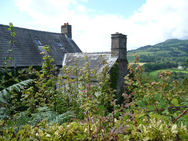
Image: © Jeremy Bolwell Taken: 11 Aug 2011
This area in summer is a well kept secret and this farm house has a very private setting in which to enjoy it.
Images are licensed for reuse under creativecommons.org/licenses/by-sa/2.0
Image Location
Latitude
51.868121
Longitude
-3.09954