Green Chain Walk near Bostall House
Introduction
The photograph on this page of Green Chain Walk near Bostall House by David Anstiss as part of the Geograph project.
The Geograph project started in 2005 with the aim of publishing, organising and preserving representative images for every square kilometre of Great Britain, Ireland and the Isle of Man.

There are currently over 7.5m images from over 14,400 individuals and you can help contribute to the project by visiting https://www.geograph.org.uk
Green Chain Walk near Bostall House
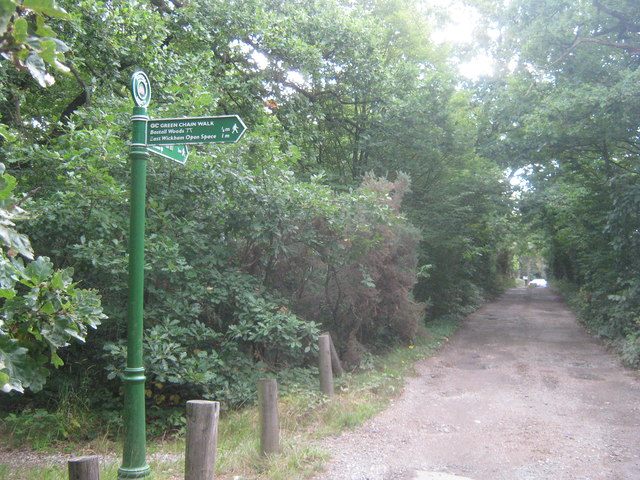
Image: © David Anstiss Taken: 7 Aug 2011
The long distance walk leads along an access road (for the house) towards Knee Hill. It also heads right across Bostall Hill towards Bostall Woods.
Images are licensed for reuse under creativecommons.org/licenses/by-sa/2.0
Image Location
Latitude
51.482388
Longitude
0.121078