Green Chain Walk in Bostall Woods
Introduction
The photograph on this page of Green Chain Walk in Bostall Woods by David Anstiss as part of the Geograph project.
The Geograph project started in 2005 with the aim of publishing, organising and preserving representative images for every square kilometre of Great Britain, Ireland and the Isle of Man.

There are currently over 7.5m images from over 14,400 individuals and you can help contribute to the project by visiting https://www.geograph.org.uk
Green Chain Walk in Bostall Woods
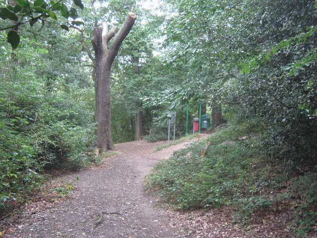
Image: © David Anstiss Taken: 7 Aug 2011
The long distance path leads from Longleigh Lane through the wood towards Cemetery Road, near East Wickham Cemetery.
Images are licensed for reuse under creativecommons.org/licenses/by-sa/2.0
Image Location
Latitude
51.477911
Longitude
0.110069