A First bus in Pontneddfechan
Introduction
The photograph on this page of A First bus in Pontneddfechan by Jaggery as part of the Geograph project.
The Geograph project started in 2005 with the aim of publishing, organising and preserving representative images for every square kilometre of Great Britain, Ireland and the Isle of Man.

There are currently over 7.5m images from over 14,400 individuals and you can help contribute to the project by visiting https://www.geograph.org.uk
A First bus in Pontneddfechan
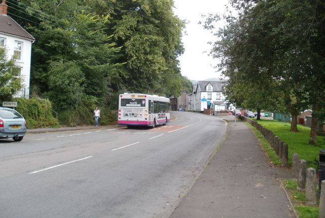
Image: © Jaggery Taken: 31 Jul 2011
A First bus on route X5 from Neath heads along Pontneathvaughan Road. Its terminus and turning point is at the community centre on the eastern edge of the village. The driver informed me that the X5 takes this route on Sundays only (presumably for the weekend tourists). On other days its terminus is at Pontwalby Bridge in Glynneath.
Images are licensed for reuse under creativecommons.org/licenses/by-sa/2.0
Image Location


Leaflet Map data © OpenStreetMap
Latitude
51.756291
Longitude
-3.592183