Farm road, Westerton
Introduction
The photograph on this page of Farm road, Westerton by Richard Webb as part of the Geograph project.
The Geograph project started in 2005 with the aim of publishing, organising and preserving representative images for every square kilometre of Great Britain, Ireland and the Isle of Man.

There are currently over 7.5m images from over 14,400 individuals and you can help contribute to the project by visiting https://www.geograph.org.uk
Farm road, Westerton
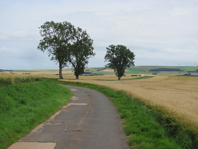
Image: © Richard Webb Taken: 6 Aug 2011
The road is genuinely blocked by a working farm at the far end, so the road is definitely not a through route. Fortunately I could not read the signage, otherwise I may have had to report it.
Images are licensed for reuse under creativecommons.org/licenses/by-sa/2.0
Image Location
Latitude
56.869211
Longitude
-2.469615