Ham Common
Introduction
The photograph on this page of Ham Common by Marathon as part of the Geograph project.
The Geograph project started in 2005 with the aim of publishing, organising and preserving representative images for every square kilometre of Great Britain, Ireland and the Isle of Man.

There are currently over 7.5m images from over 14,400 individuals and you can help contribute to the project by visiting https://www.geograph.org.uk
Ham Common
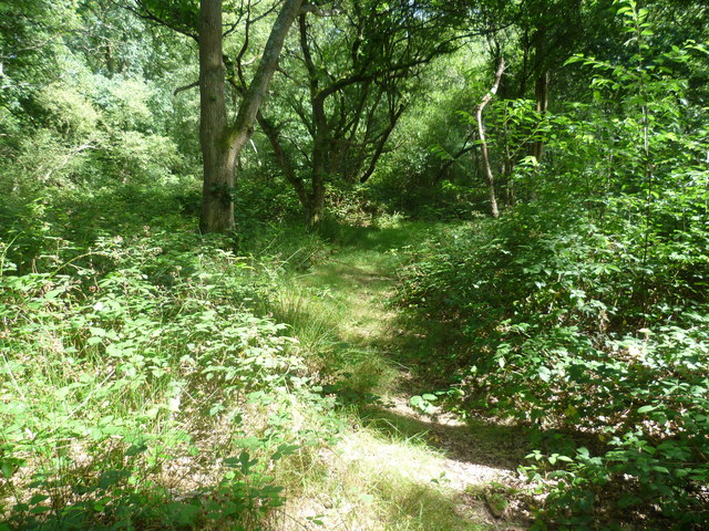
Image: © Marathon Taken: 10 Aug 2011
Like so many commons where grazing has long ago ceased, the part of Ham Common to the east of Upper Ham Road is now largely woodland as seen here.
Images are licensed for reuse under creativecommons.org/licenses/by-sa/2.0
Image Location
Latitude
51.431759
Longitude
-0.298044