View down Dell Road
Introduction
The photograph on this page of View down Dell Road by David Martin as part of the Geograph project.
The Geograph project started in 2005 with the aim of publishing, organising and preserving representative images for every square kilometre of Great Britain, Ireland and the Isle of Man.

There are currently over 7.5m images from over 14,400 individuals and you can help contribute to the project by visiting https://www.geograph.org.uk
View down Dell Road
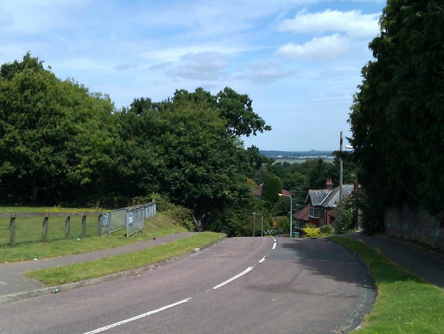
Image: © David Martin Taken: 10 Aug 2011
The road descends very steeply here from its junction with Castle Road and Midanbury Lane. In the far distance, the runway of Southampton Airport is visible - at a much lower elevation than the photographer.
Images are licensed for reuse under creativecommons.org/licenses/by-sa/2.0
Image Location
Latitude
50.927155
Longitude
-1.366493