Lower Bosistow
Introduction
The photograph on this page of Lower Bosistow by Graham Horn as part of the Geograph project.
The Geograph project started in 2005 with the aim of publishing, organising and preserving representative images for every square kilometre of Great Britain, Ireland and the Isle of Man.

There are currently over 7.5m images from over 14,400 individuals and you can help contribute to the project by visiting https://www.geograph.org.uk
Lower Bosistow
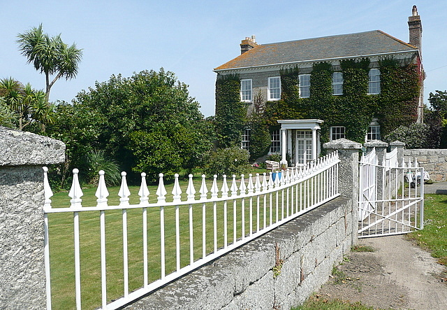
Image: © Graham Horn Taken: 4 Jul 2011
A lovely Georgian farmhouse on the way to Mill Bay.
Images are licensed for reuse under creativecommons.org/licenses/by-sa/2.0
Image Location
Latitude
50.056599
Longitude
-5.681188