Footpath west of Polgigga
Introduction
The photograph on this page of Footpath west of Polgigga by Graham Horn as part of the Geograph project.
The Geograph project started in 2005 with the aim of publishing, organising and preserving representative images for every square kilometre of Great Britain, Ireland and the Isle of Man.

There are currently over 7.5m images from over 14,400 individuals and you can help contribute to the project by visiting https://www.geograph.org.uk
Footpath west of Polgigga
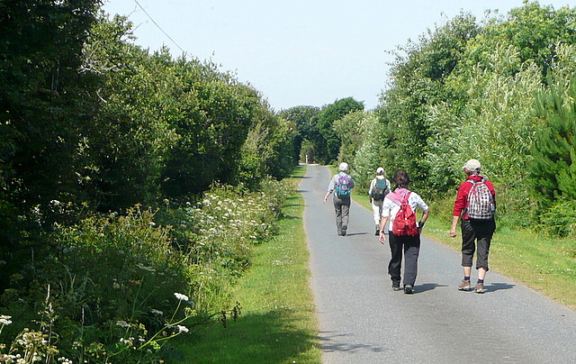
Image: © Graham Horn Taken: 4 Jul 2011
A group of walkers enjoys the straight, level and tarmaced sufrace of this footpath west of Polgigga, that leads towards Bosistow then Mill Bay.
Images are licensed for reuse under creativecommons.org/licenses/by-sa/2.0
Image Location
Latitude
50.05607
Longitude
-5.672344