Boughton Green
Introduction
The photograph on this page of Boughton Green by Richard Croft as part of the Geograph project.
The Geograph project started in 2005 with the aim of publishing, organising and preserving representative images for every square kilometre of Great Britain, Ireland and the Isle of Man.

There are currently over 7.5m images from over 14,400 individuals and you can help contribute to the project by visiting https://www.geograph.org.uk
Boughton Green
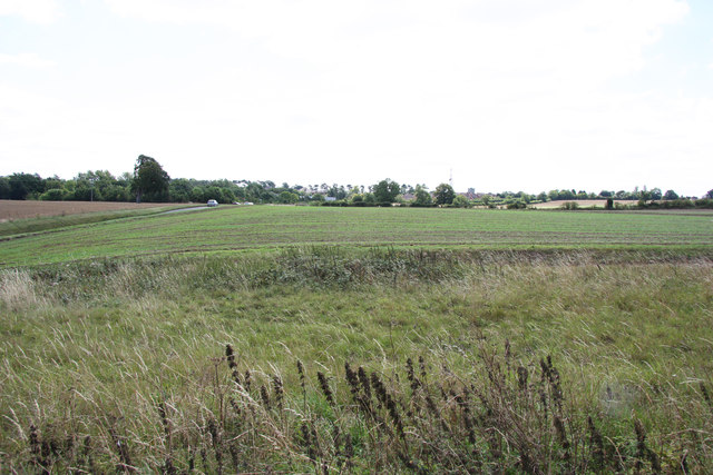
Image: © Richard Croft Taken: 9 Aug 2011
A roughly triangular piece of land by the ruins of old St.Peter’s church http://www.geograph.org.uk/photo/2546062 , once surrounded by the medieval village of Boughton. A charter of 1353 granted permission for an annual three-day fair on Boughton Green to celebrate the nativity of St.John the Baptist; woodcrafts and agricultural implements were sold on the first day, festivities with wrestling and horse races on the second and cattle were sole on the third day. There was a turf maze known as ‘The Shepherd’s Race’, still visible in 1946, but the land is now ploughed as arable farmland. The medieval village declined in the late 15th - early 16th centuries and St.John’s church became ruinous, though the tower and spire were still standing in 1773. In 1826 the notorious highwayman George Catherall or "Captain Slash" was detained at Boughton Fayre, accused of robbing a shoemaker of 11 half-crowns, one crown, a neckerchief, a corkscrew and a waistcoat. He was subsequently tried and hanged in Northampton on 21 July 1826. His ghost is said to roam Boughton Green and Little Warren Spinney by the ruins of old St.John’s church.
Images are licensed for reuse under creativecommons.org/licenses/by-sa/2.0
Image Location
Latitude
52.282618
Longitude
-0.882074