Farmland at Rosevidney
Introduction
The photograph on this page of Farmland at Rosevidney by Graham Horn as part of the Geograph project.
The Geograph project started in 2005 with the aim of publishing, organising and preserving representative images for every square kilometre of Great Britain, Ireland and the Isle of Man.

There are currently over 7.5m images from over 14,400 individuals and you can help contribute to the project by visiting https://www.geograph.org.uk
Farmland at Rosevidney
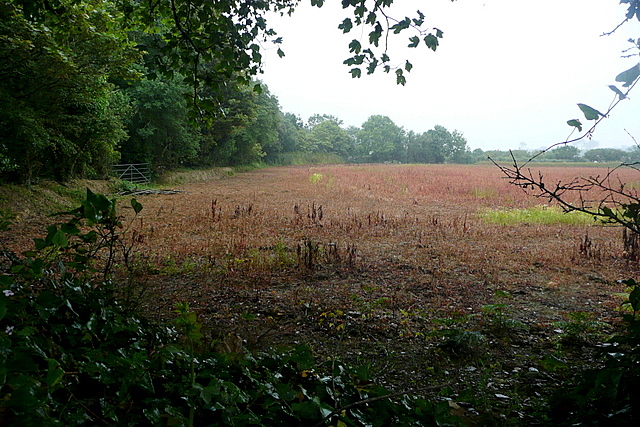
Image: © Graham Horn Taken: 6 Jul 2011
Whatever was in this field, something reddish, has been harvested.
Images are licensed for reuse under creativecommons.org/licenses/by-sa/2.0
Image Location


Leaflet Map data © OpenStreetMap
Latitude
50.152685
Longitude
-5.459073