The Racecourse
Introduction
The photograph on this page of The Racecourse by Burgess Von Thunen as part of the Geograph project.
The Geograph project started in 2005 with the aim of publishing, organising and preserving representative images for every square kilometre of Great Britain, Ireland and the Isle of Man.

There are currently over 7.5m images from over 14,400 individuals and you can help contribute to the project by visiting https://www.geograph.org.uk
The Racecourse
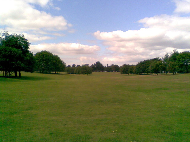
Image: © Burgess Von Thunen Taken: 9 Aug 2011
A hilly bit in the middle of the mostly flat Racecourse. In the 1930s and 1940s this area was known as 'Happy Valley'. At one time it contained a children's playground. It was formed by the bed of a stream that ran off the racecourse, down under St Georges Avenue, past the end of Freehold Street and down into the Walbeck. The bed was filled in and raised by unemployed workers (demobilised soldiers) in 1920, 1921 after WW1.
Images are licensed for reuse under creativecommons.org/licenses/by-sa/2.0
Image Location
Latitude
52.248165
Longitude
-0.889678