Priory Park, Holywood
Introduction
The photograph on this page of Priory Park, Holywood by Albert Bridge as part of the Geograph project.
The Geograph project started in 2005 with the aim of publishing, organising and preserving representative images for every square kilometre of Great Britain, Ireland and the Isle of Man.

There are currently over 7.5m images from over 14,400 individuals and you can help contribute to the project by visiting https://www.geograph.org.uk
Priory Park, Holywood
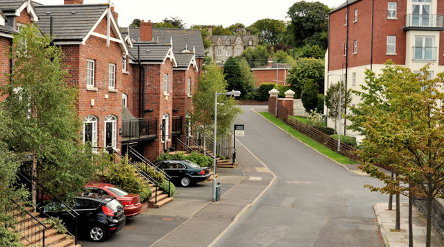
Image: © Albert Bridge Taken: 9 Aug 2011
A recent development of townhouses, with an extra floor (left), at Priory Park, between the Bangor Road and the bypass Image
Images are licensed for reuse under creativecommons.org/licenses/by-sa/2.0
Image Location
Latitude
54.644236
Longitude
-5.828226