Benchmark on the tower
Introduction
The photograph on this page of Benchmark on the tower by Neil Owen as part of the Geograph project.
The Geograph project started in 2005 with the aim of publishing, organising and preserving representative images for every square kilometre of Great Britain, Ireland and the Isle of Man.

There are currently over 7.5m images from over 14,400 individuals and you can help contribute to the project by visiting https://www.geograph.org.uk
Benchmark on the tower
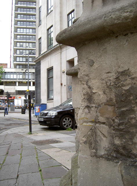
Image: © Neil Owen Taken: 26 Jul 2011
A cut benchmark placed on the tower of St Stephen's church, on St Stephen's Avenue; it's clearly had to contend with a fair amount of city centre conditions but can still be useful as the yellow marking may indicate. See Image] for a taller view and http://www.bench-marks.org.uk/bm28918 for the Benchmark Database.
Images are licensed for reuse under creativecommons.org/licenses/by-sa/2.0
Image Location
Latitude
51.454193
Longitude
-2.596203