Allan Water
Introduction
The photograph on this page of Allan Water by Robert Murray as part of the Geograph project.
The Geograph project started in 2005 with the aim of publishing, organising and preserving representative images for every square kilometre of Great Britain, Ireland and the Isle of Man.

There are currently over 7.5m images from over 14,400 individuals and you can help contribute to the project by visiting https://www.geograph.org.uk
Allan Water
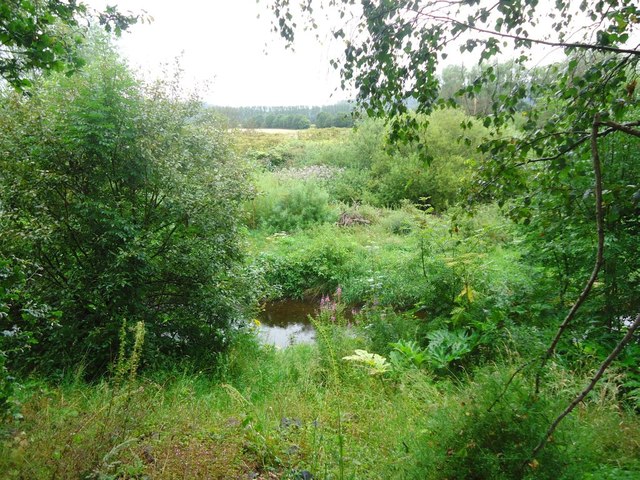
Image: © Robert Murray Taken: 6 Aug 2011
Which can just about be seen through the dense foliage - mainly a severe infestation of Giant Hogweed on both banks. See http://www.invasiveweedsolutions.co.uk/invasive-weed/giant-hogweed?gclid=CNaMw8fCwqoCFQMLfAod6GK67w
Images are licensed for reuse under creativecommons.org/licenses/by-sa/2.0
Image Location


Leaflet Map data © OpenStreetMap
Latitude
56.144049
Longitude
-3.95176