Junction above Grimbald Bridge
Introduction
The photograph on this page of Junction above Grimbald Bridge by Derek Harper as part of the Geograph project.
The Geograph project started in 2005 with the aim of publishing, organising and preserving representative images for every square kilometre of Great Britain, Ireland and the Isle of Man.

There are currently over 7.5m images from over 14,400 individuals and you can help contribute to the project by visiting https://www.geograph.org.uk
Junction above Grimbald Bridge
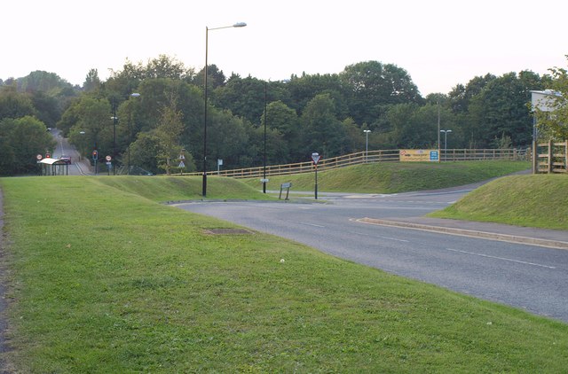
Image: © Derek Harper Taken: 30 Jul 2011
The old Wetherby Road joins the modern B6164, Grimbald Crag Way, which then drops to cross the River Nidd at the traffic lights. Taken from the Knaresborough Round.
Images are licensed for reuse under creativecommons.org/licenses/by-sa/2.0
Image Location
Latitude
53.999663
Longitude
-1.447881