A field near Rose Farm
Introduction
The photograph on this page of A field near Rose Farm by David Purchase as part of the Geograph project.
The Geograph project started in 2005 with the aim of publishing, organising and preserving representative images for every square kilometre of Great Britain, Ireland and the Isle of Man.

There are currently over 7.5m images from over 14,400 individuals and you can help contribute to the project by visiting https://www.geograph.org.uk
A field near Rose Farm
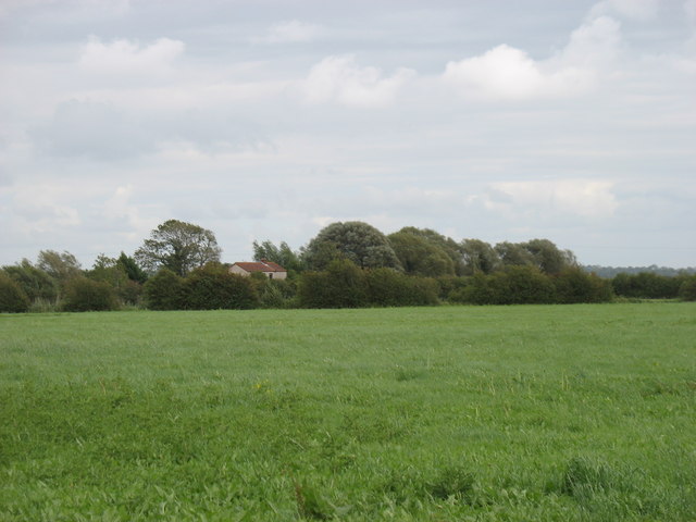
Image: © David Purchase Taken: 8 Aug 2011
The buildings are those seen from a much closer perspective in Image The large-scale maps show that this is Stevelon House, at the end of Slade Lane.
Images are licensed for reuse under creativecommons.org/licenses/by-sa/2.0
Image Location


Leaflet Map data © OpenStreetMap
Latitude
51.261365
Longitude
-2.886931