Churchyard, All Saints, Rushton
Introduction
The photograph on this page of Churchyard, All Saints, Rushton by Geoff Pick as part of the Geograph project.
The Geograph project started in 2005 with the aim of publishing, organising and preserving representative images for every square kilometre of Great Britain, Ireland and the Isle of Man.

There are currently over 7.5m images from over 14,400 individuals and you can help contribute to the project by visiting https://www.geograph.org.uk
Churchyard, All Saints, Rushton
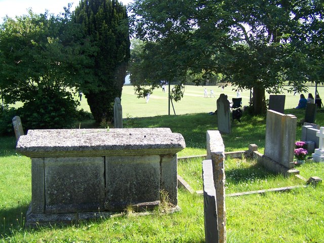
Image: © Geoff Pick Taken: 30 Jul 2011
Spectators are using the churchyard as a vantage point for the village cricket match
Images are licensed for reuse under creativecommons.org/licenses/by-sa/2.0
Image Location
Latitude
52.437525
Longitude
-0.764591