River Ogmore weirs near Brynmenyn
Introduction
The photograph on this page of River Ogmore weirs near Brynmenyn by eswales as part of the Geograph project.
The Geograph project started in 2005 with the aim of publishing, organising and preserving representative images for every square kilometre of Great Britain, Ireland and the Isle of Man.

There are currently over 7.5m images from over 14,400 individuals and you can help contribute to the project by visiting https://www.geograph.org.uk
River Ogmore weirs near Brynmenyn
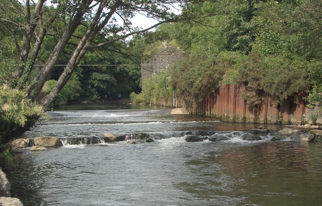
Image: © eswales Taken: 5 Aug 2011
A view from a spot just off the cycle path which runs along the west bank of the River Ogmore south of Brynmenyn. Three closely grouped weirs on the river can be seen in the photograph, and many others are to be found in the immediate area.
Images are licensed for reuse under creativecommons.org/licenses/by-sa/2.0
Image Location
Latitude
51.547718
Longitude
-3.582437