Port Erroll
Introduction
The photograph on this page of Port Erroll by Anne Burgess as part of the Geograph project.
The Geograph project started in 2005 with the aim of publishing, organising and preserving representative images for every square kilometre of Great Britain, Ireland and the Isle of Man.

There are currently over 7.5m images from over 14,400 individuals and you can help contribute to the project by visiting https://www.geograph.org.uk
Port Erroll
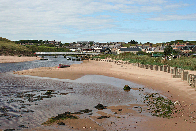
Image: © Anne Burgess Taken: 5 Aug 2011
The Ladies' Bridge over the Cruden Water is in the next square, but the foreground is in this square. I wonder how much was spent on the thousands upon thousands of concrete anti-tank blocks erected along the coast during the Second World War?
Images are licensed for reuse under creativecommons.org/licenses/by-sa/2.0
Image Location
Latitude
57.414104
Longitude
-1.846838