Prestonville Road
Introduction
The photograph on this page of Prestonville Road by Simon Carey as part of the Geograph project.
The Geograph project started in 2005 with the aim of publishing, organising and preserving representative images for every square kilometre of Great Britain, Ireland and the Isle of Man.

There are currently over 7.5m images from over 14,400 individuals and you can help contribute to the project by visiting https://www.geograph.org.uk
Prestonville Road
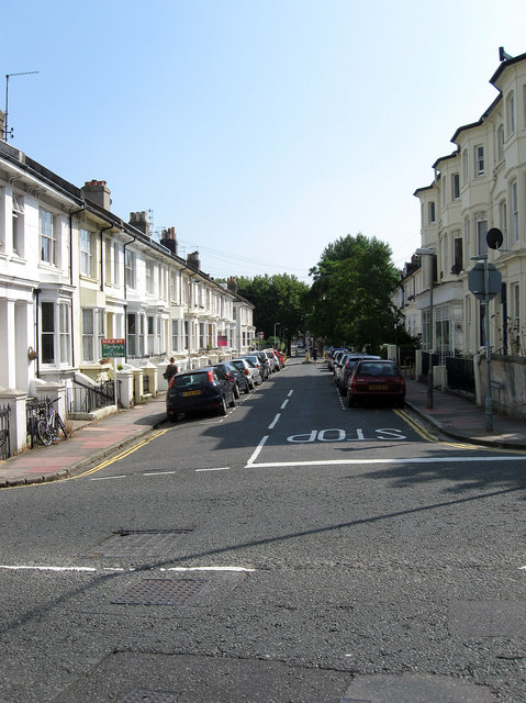
Image: © Simon Carey Taken: 31 Jul 2011
A side street linking Old Shoreham Road, which is visible in the foreground, to Seven Dials. Prestonville was the original name of the development in these parts as the land originally lay in the parish of Preston.
Images are licensed for reuse under creativecommons.org/licenses/by-sa/2.0
Image Location
Latitude
50.83261
Longitude
-0.147528