Hill of Balgair
Introduction
The photograph on this page of Hill of Balgair by Richard Webb as part of the Geograph project.
The Geograph project started in 2005 with the aim of publishing, organising and preserving representative images for every square kilometre of Great Britain, Ireland and the Isle of Man.

There are currently over 7.5m images from over 14,400 individuals and you can help contribute to the project by visiting https://www.geograph.org.uk
Hill of Balgair
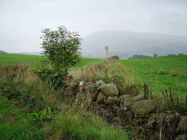
Image: © Richard Webb Taken: 17 Sep 2006
Dyke junction amongst grassland below the less fertile lands of Balgair Muir. The distant hill is Stronend above Fintry.
Images are licensed for reuse under creativecommons.org/licenses/by-sa/2.0
Image Location
Latitude
56.073179
Longitude
-4.255553