Holton Heath, level crossing
Introduction
The photograph on this page of Holton Heath, level crossing by Mike Faherty as part of the Geograph project.
The Geograph project started in 2005 with the aim of publishing, organising and preserving representative images for every square kilometre of Great Britain, Ireland and the Isle of Man.

There are currently over 7.5m images from over 14,400 individuals and you can help contribute to the project by visiting https://www.geograph.org.uk
Holton Heath, level crossing
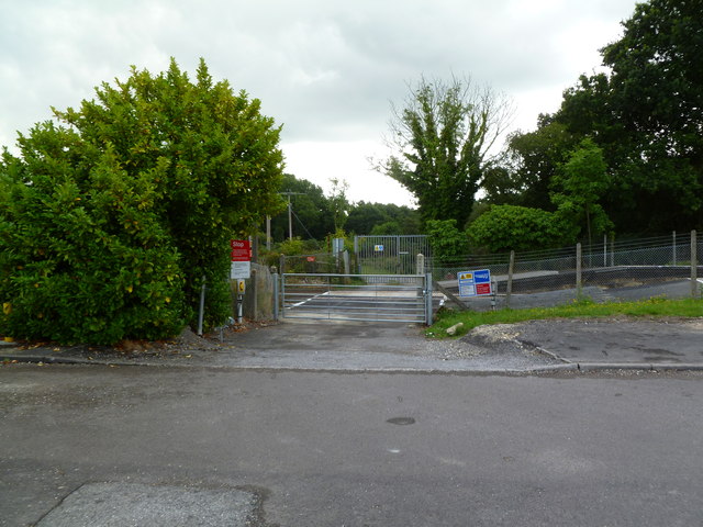
Image: © Mike Faherty Taken: 6 Aug 2011
Next to Holton Heath Station, on the Waterloo to Weymouth line; giving access to agricultural land on the other side, but padlocked on both sides.
Images are licensed for reuse under creativecommons.org/licenses/by-sa/2.0
Image Location
Latitude
50.711857
Longitude
-2.077137