Road junction at Ebchester
Introduction
The photograph on this page of Road junction at Ebchester by Robert Graham as part of the Geograph project.
The Geograph project started in 2005 with the aim of publishing, organising and preserving representative images for every square kilometre of Great Britain, Ireland and the Isle of Man.

There are currently over 7.5m images from over 14,400 individuals and you can help contribute to the project by visiting https://www.geograph.org.uk
Road junction at Ebchester
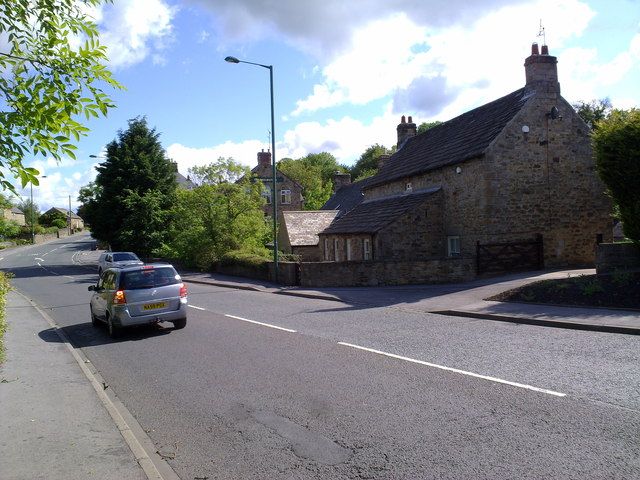
Image: © Robert Graham Taken: 24 Jun 2011
Looking along towards the Chelmsford public house. The road to the left leads to Corbridge and the Roman Wall. It is the old Roman Dere Street.
Images are licensed for reuse under creativecommons.org/licenses/by-sa/2.0
Image Location
Latitude
54.893055
Longitude
-1.841567