Wellington Mill
Introduction
The photograph on this page of Wellington Mill by Alan Murray-Rust as part of the Geograph project.
The Geograph project started in 2005 with the aim of publishing, organising and preserving representative images for every square kilometre of Great Britain, Ireland and the Isle of Man.

There are currently over 7.5m images from over 14,400 individuals and you can help contribute to the project by visiting https://www.geograph.org.uk
Wellington Mill
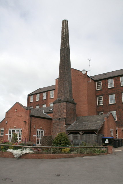
Image: © Alan Murray-Rust Taken: 16 May 2011
The rear of the mill showing the boiler house, engine house and chimney. Grade II listed.
Images are licensed for reuse under creativecommons.org/licenses/by-sa/2.0
Image Location


Leaflet Map data © OpenStreetMap
Latitude
53.104611
Longitude
-2.029832