King Street
Introduction
The photograph on this page of King Street by Alan Murray-Rust as part of the Geograph project.
The Geograph project started in 2005 with the aim of publishing, organising and preserving representative images for every square kilometre of Great Britain, Ireland and the Isle of Man.

There are currently over 7.5m images from over 14,400 individuals and you can help contribute to the project by visiting https://www.geograph.org.uk
King Street
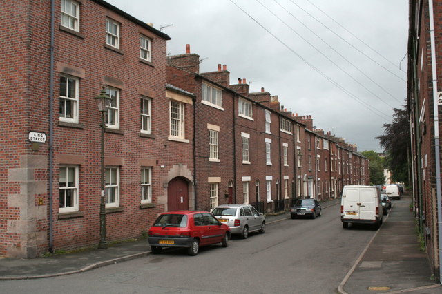
Image: © Alan Murray-Rust Taken: 16 May 2011
The 5 nearest single-bay houses (Nos 38-46), some with the gallery windows, are Grade II listed. The listing suggests that the gallery windows are later modifications, and that originally they would have been deeper sash windows on the lines of the first floor windows. The houses do however have gallery windows at the rear http://www.geograph.org.uk/photo/2541410, where they would have got better sunlight.
Images are licensed for reuse under creativecommons.org/licenses/by-sa/2.0
Image Location
Latitude
53.102814
Longitude
-2.026097