Sarn Helen north of Stags Head, Ceredigion
Introduction
The photograph on this page of Sarn Helen north of Stags Head, Ceredigion by Roger D Kidd as part of the Geograph project.
The Geograph project started in 2005 with the aim of publishing, organising and preserving representative images for every square kilometre of Great Britain, Ireland and the Isle of Man.

There are currently over 7.5m images from over 14,400 individuals and you can help contribute to the project by visiting https://www.geograph.org.uk
Sarn Helen north of Stags Head, Ceredigion
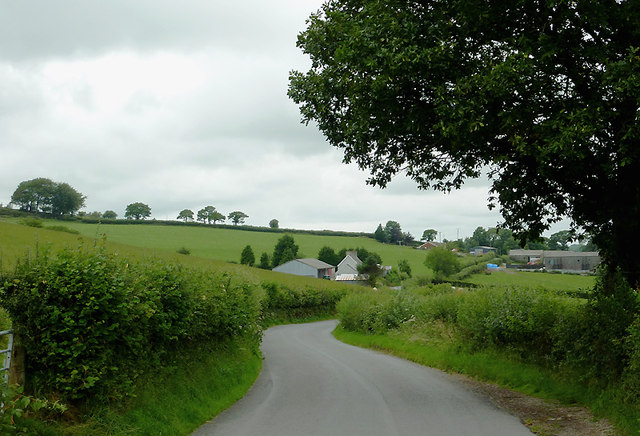
Image: © Roger D Kidd Taken: 19 Jul 2011
The B4578 now runs along the former Roman Road from the A485 at Llanio to the A485 at Tyncelyn, so is a short, straight, but attractive cut avoiding the A road's diversion to Tregaron.
Images are licensed for reuse under creativecommons.org/licenses/by-sa/2.0
Image Location
Latitude
52.22452
Longitude
-3.990493