Upper Aeron Valley, Ceredigion
Introduction
The photograph on this page of Upper Aeron Valley, Ceredigion by Roger D Kidd as part of the Geograph project.
The Geograph project started in 2005 with the aim of publishing, organising and preserving representative images for every square kilometre of Great Britain, Ireland and the Isle of Man.

There are currently over 7.5m images from over 14,400 individuals and you can help contribute to the project by visiting https://www.geograph.org.uk
Upper Aeron Valley, Ceredigion
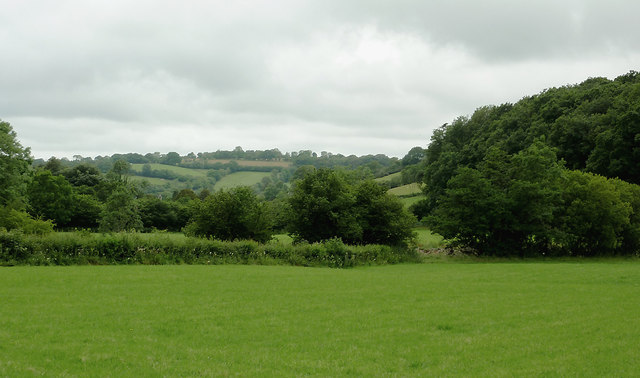
Image: © Roger D Kidd Taken: 19 Jul 2011
The valley widens here north-east of Llangeitho, and contains rich pasture land for many miles.
Images are licensed for reuse under creativecommons.org/licenses/by-sa/2.0
Image Location
Latitude
52.22304
Longitude
-4.014658