1GL benchmark & bolt on Eglwys Llanbeblig, Caernarfon
Introduction
The photograph on this page of 1GL benchmark & bolt on Eglwys Llanbeblig, Caernarfon by Meirion as part of the Geograph project.
The Geograph project started in 2005 with the aim of publishing, organising and preserving representative images for every square kilometre of Great Britain, Ireland and the Isle of Man.

There are currently over 7.5m images from over 14,400 individuals and you can help contribute to the project by visiting https://www.geograph.org.uk
1GL benchmark & bolt on Eglwys Llanbeblig, Caernarfon
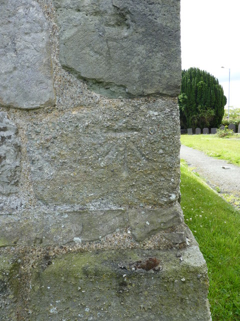
Image: © Meirion Taken: 20 Jul 2011
This 1GL benchmark & bolt on the NW face of the church tower was used during the Ordnance Survey's First Primary Levelling on the line between Warrington and Pembroke Docks, between September 1851 and July 1852. This mark was a branch levelling from mark No. 312 on the main levelling line. The Ordnance Survey database shows that this mark was last inspected in 1973 and is 40.8737m above the Newlyn datum.
Images are licensed for reuse under creativecommons.org/licenses/by-sa/2.0
Image Location
Latitude
53.136141
Longitude
-4.262868