Farm track north-east of Llangeitho, Ceredigion
Introduction
The photograph on this page of Farm track north-east of Llangeitho, Ceredigion by Roger D Kidd as part of the Geograph project.
The Geograph project started in 2005 with the aim of publishing, organising and preserving representative images for every square kilometre of Great Britain, Ireland and the Isle of Man.

There are currently over 7.5m images from over 14,400 individuals and you can help contribute to the project by visiting https://www.geograph.org.uk
Farm track north-east of Llangeitho, Ceredigion
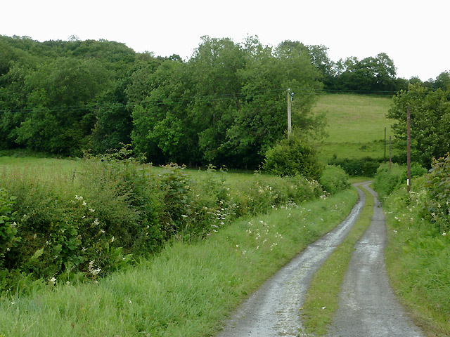
Image: © Roger D Kidd Taken: 19 Jul 2011
The bridleway along this track leads up Cwm Coch to the Llanbadarn Odwyn church on the hill, and onward to Sarn Helen (B4578) at Deri Odwen farm.
Images are licensed for reuse under creativecommons.org/licenses/by-sa/2.0
Image Location
Latitude
52.223003
Longitude
-4.011581