Paper Mill, Guardbridge
Introduction
The photograph on this page of Paper Mill, Guardbridge by Stanley Howe as part of the Geograph project.
The Geograph project started in 2005 with the aim of publishing, organising and preserving representative images for every square kilometre of Great Britain, Ireland and the Isle of Man.

There are currently over 7.5m images from over 14,400 individuals and you can help contribute to the project by visiting https://www.geograph.org.uk
Paper Mill, Guardbridge
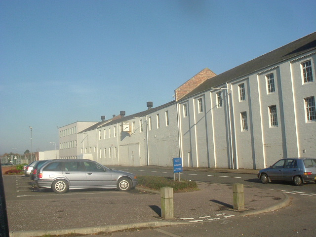
Image: © Stanley Howe Taken: 27 Oct 2005
Whilst the mill is in this square, it may be that its carpark from which this shot is taken could be the next square west. The map seems to indicate the road (A919 St Andrews-Leuchars) divides the two.
Images are licensed for reuse under creativecommons.org/licenses/by-sa/2.0
Image Location
Latitude
56.364603
Longitude
-2.891849