The Halfway Road near Dromore (3)
Introduction
The photograph on this page of The Halfway Road near Dromore (3) by Albert Bridge as part of the Geograph project.
The Geograph project started in 2005 with the aim of publishing, organising and preserving representative images for every square kilometre of Great Britain, Ireland and the Isle of Man.

There are currently over 7.5m images from over 14,400 individuals and you can help contribute to the project by visiting https://www.geograph.org.uk
The Halfway Road near Dromore (3)
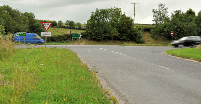
Image: © Albert Bridge Taken: 6 Aug 2011
The northern end of the Halfway Road Image (formerly part of the main road) approaching the present dual carriageway.
Images are licensed for reuse under creativecommons.org/licenses/by-sa/2.0
Image Location
Latitude
54.379941
Longitude
-6.191002