Water channel in Priory Gardens, Orpington
Introduction
The photograph on this page of Water channel in Priory Gardens, Orpington by Marathon as part of the Geograph project.
The Geograph project started in 2005 with the aim of publishing, organising and preserving representative images for every square kilometre of Great Britain, Ireland and the Isle of Man.

There are currently over 7.5m images from over 14,400 individuals and you can help contribute to the project by visiting https://www.geograph.org.uk
Water channel in Priory Gardens, Orpington
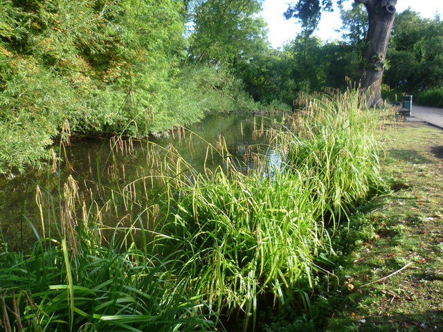
Image: © Marathon Taken: 5 Aug 2011
This water channel is next to the lake in Priory Gardens. Priory Gardens is named after The Priory, a fine example of a medieval hall house just to the south of the gardens. The house was acquired by Orpington Urban District Council in 1947, and now houses a museum and until recently a public library. The garden forms an attractive public park, and contains the natural lake which is the source of the River Cray.
Images are licensed for reuse under creativecommons.org/licenses/by-sa/2.0
Image Location
Latitude
51.381222
Longitude
0.105906