Fire Station and Ambulance Station, Llandovery
Introduction
The photograph on this page of Fire Station and Ambulance Station, Llandovery by Jaggery as part of the Geograph project.
The Geograph project started in 2005 with the aim of publishing, organising and preserving representative images for every square kilometre of Great Britain, Ireland and the Isle of Man.

There are currently over 7.5m images from over 14,400 individuals and you can help contribute to the project by visiting https://www.geograph.org.uk
Fire Station and Ambulance Station, Llandovery
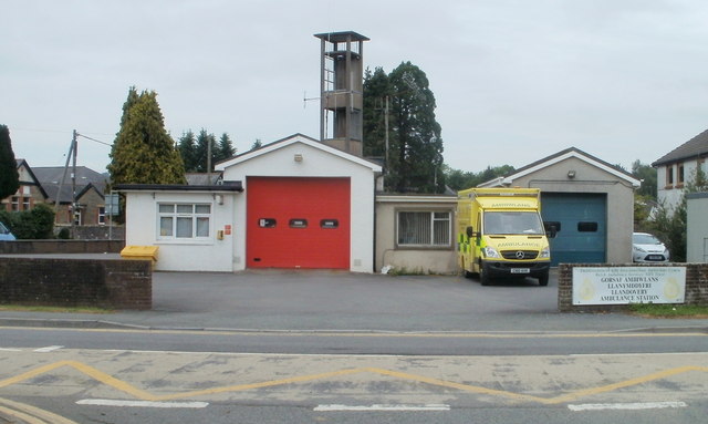
Image: © Jaggery Taken: 5 Jun 2011
Located side-by-side on the A483, facing a crossroads (Llanfair Road, New Road, Stone Street and Cilycwm Road). Llandovery Fire Station is part of the Mid and West Wales Fire and Rescue Service.
Images are licensed for reuse under creativecommons.org/licenses/by-sa/2.0
Image Location


Leaflet Map data © OpenStreetMap
Latitude
51.997013
Longitude
-3.797362