Aston Lane, Claverley
Introduction
The photograph on this page of Aston Lane, Claverley by P L Chadwick as part of the Geograph project.
The Geograph project started in 2005 with the aim of publishing, organising and preserving representative images for every square kilometre of Great Britain, Ireland and the Isle of Man.

There are currently over 7.5m images from over 14,400 individuals and you can help contribute to the project by visiting https://www.geograph.org.uk
Aston Lane, Claverley
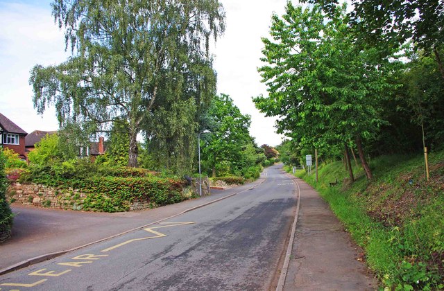
Image: © P L Chadwick Taken: 11 Jun 2011
This is the more modern part of the village. There is a lot of fairly recent housing development on the north side of Aston Lane.
Images are licensed for reuse under creativecommons.org/licenses/by-sa/2.0
Image Location
Latitude
52.537445
Longitude
-2.3019