Heol Herbert, Resolven
Introduction
The photograph on this page of Heol Herbert, Resolven by Jaggery as part of the Geograph project.
The Geograph project started in 2005 with the aim of publishing, organising and preserving representative images for every square kilometre of Great Britain, Ireland and the Isle of Man.

There are currently over 7.5m images from over 14,400 individuals and you can help contribute to the project by visiting https://www.geograph.org.uk
Heol Herbert, Resolven
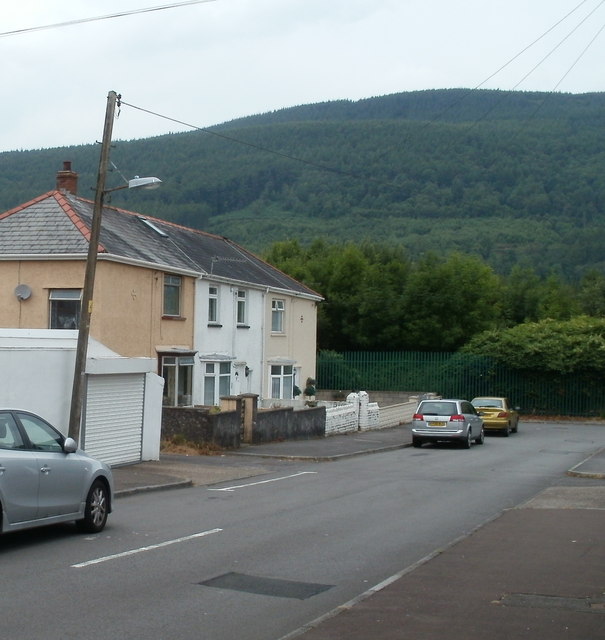
Image: © Jaggery Taken: 31 Jul 2011
Numbers 1-3 Heol Herbert are on the left. The road turns through 90 degrees ahead, at the green fence at the edge of a railway. The rest of the houses are around the bend.
Images are licensed for reuse under creativecommons.org/licenses/by-sa/2.0
Image Location
Latitude
51.708036
Longitude
-3.699039