Field by Orchard Close, Claverley
Introduction
The photograph on this page of Field by Orchard Close, Claverley by P L Chadwick as part of the Geograph project.
The Geograph project started in 2005 with the aim of publishing, organising and preserving representative images for every square kilometre of Great Britain, Ireland and the Isle of Man.

There are currently over 7.5m images from over 14,400 individuals and you can help contribute to the project by visiting https://www.geograph.org.uk
Field by Orchard Close, Claverley
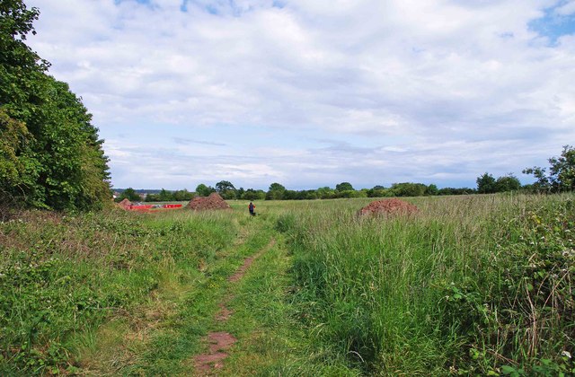
Image: © P L Chadwick Taken: 11 Jun 2011
There is a public footpath across this field, which someone in the distance is using to exercise their dog. The photograph was taken from the Orchard Close access to the field. Behind the hedge on the left runs Aston Lane.
Images are licensed for reuse under creativecommons.org/licenses/by-sa/2.0
Image Location
Latitude
52.536723
Longitude
-2.303074