Castlemilk schools from Queens Park
Introduction
The photograph on this page of Castlemilk schools from Queens Park by Thomas Nugent as part of the Geograph project.
The Geograph project started in 2005 with the aim of publishing, organising and preserving representative images for every square kilometre of Great Britain, Ireland and the Isle of Man.

There are currently over 7.5m images from over 14,400 individuals and you can help contribute to the project by visiting https://www.geograph.org.uk
Castlemilk schools from Queens Park
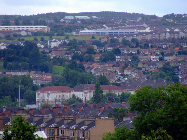
Image: © Thomas Nugent Taken: 31 Jul 2011
St Margaret Mary's Secondary School is on the left, Castleton Primary School to its right. Elmore Avenue can be seen climbing the hill in the centre.
Images are licensed for reuse under creativecommons.org/licenses/by-sa/2.0
Image Location
Latitude
55.829101
Longitude
-4.269183