Bridge Demolition, Burdett Road, Bow
Introduction
The photograph on this page of Bridge Demolition, Burdett Road, Bow by Derek Voller as part of the Geograph project.
The Geograph project started in 2005 with the aim of publishing, organising and preserving representative images for every square kilometre of Great Britain, Ireland and the Isle of Man.

There are currently over 7.5m images from over 14,400 individuals and you can help contribute to the project by visiting https://www.geograph.org.uk
Bridge Demolition, Burdett Road, Bow
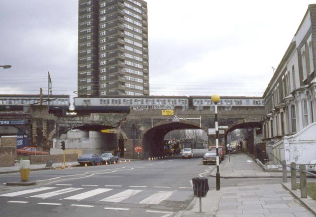
Image: © Derek Voller Taken: Unknown
In 1984 the bridge carrying the Liverpool Street to East Anglia railway line at Burdett Road was being demolished to facilitate a road widening scheme. The new steel bridge waits on the far side ready to be pushed into position when required. See Image
Images are licensed for reuse under creativecommons.org/licenses/by-sa/2.0
Image Location
Latitude
51.518487
Longitude
-0.030611