Warrenpoint harbour estate
Introduction
The photograph on this page of Warrenpoint harbour estate by Albert Bridge as part of the Geograph project.
The Geograph project started in 2005 with the aim of publishing, organising and preserving representative images for every square kilometre of Great Britain, Ireland and the Isle of Man.

There are currently over 7.5m images from over 14,400 individuals and you can help contribute to the project by visiting https://www.geograph.org.uk
Warrenpoint harbour estate
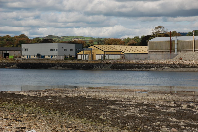
Image: © Albert Bridge Taken: 4 Oct 2006
Warrenpoint is a busy commercial harbour. Within the harbour estate are properties used by various businesses other than the Harbour Authority. This is that section of the harbour viewed from across the Clanrye River on the Newry side of Omeath. By good fortune both sides of the river are in the same square!!
Images are licensed for reuse under creativecommons.org/licenses/by-sa/2.0
Image Location
Latitude
54.103132
Longitude
-6.265609