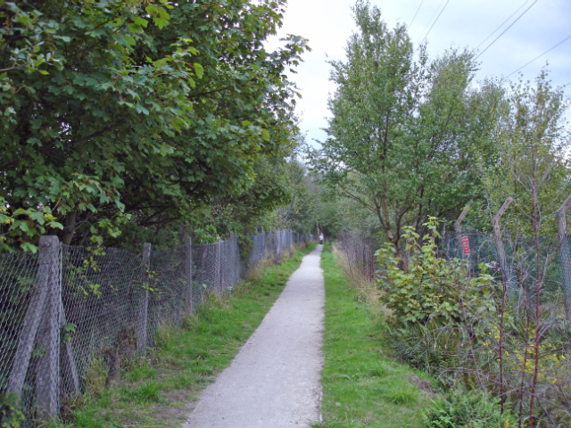
Hooton - the Wirral Way
Introduction
The photograph on this page of Hooton - the Wirral Way by Mike Harris as part of the Geograph project.
The Geograph project started in 2005 with the aim of publishing, organising and preserving representative images for every square kilometre of Great Britain, Ireland and the Isle of Man.
There are currently over 7.5m images from over 14,400 individuals and you can help contribute to the project by visiting https://www.geograph.org.uk

Image: © Mike Harris Taken: 18 Sep 2006
Hooton: the Wirral Way (here also the North Cheshire Way). This is near the eastern end of the Wirral Way and the western end of the North Cheshire Way, where they meet at Hooton Station. The path here runs between the railway to the east and a large industrial site to the west, but both paths soon become more rural.

