The old Petworth station approach road
Introduction
The photograph on this page of The old Petworth station approach road by Dave Spicer as part of the Geograph project.
The Geograph project started in 2005 with the aim of publishing, organising and preserving representative images for every square kilometre of Great Britain, Ireland and the Isle of Man.

There are currently over 7.5m images from over 14,400 individuals and you can help contribute to the project by visiting https://www.geograph.org.uk
The old Petworth station approach road
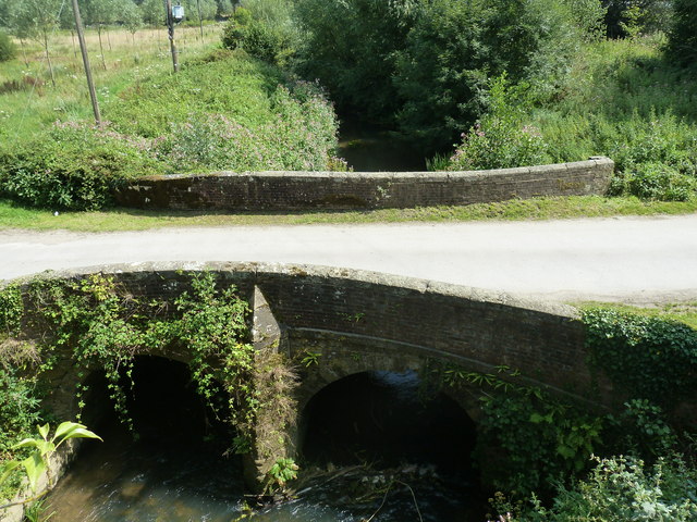
Image: © Dave Spicer Taken: 31 Jul 2011
Viewed from the road bridge carrying the A285 also named Station Road.
Images are licensed for reuse under creativecommons.org/licenses/by-sa/2.0
Image Location
Latitude
50.96416
Longitude
-0.62037