Hull Brook, Castleshaw valley
Introduction
The photograph on this page of Hull Brook, Castleshaw valley by Michael Fox as part of the Geograph project.
The Geograph project started in 2005 with the aim of publishing, organising and preserving representative images for every square kilometre of Great Britain, Ireland and the Isle of Man.

There are currently over 7.5m images from over 14,400 individuals and you can help contribute to the project by visiting https://www.geograph.org.uk
Hull Brook, Castleshaw valley
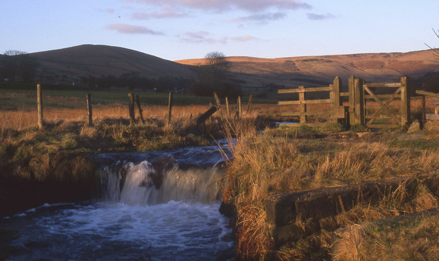
Image: © Michael Fox Taken: Unknown
The weir feeds water into a dam that once supplied Hull Mill.
Images are licensed for reuse under creativecommons.org/licenses/by-sa/2.0
Image Location
Latitude
53.57445
Longitude
-2.017329