Division Bridge
Introduction
The photograph on this page of Division Bridge by Michael Fox as part of the Geograph project.
The Geograph project started in 2005 with the aim of publishing, organising and preserving representative images for every square kilometre of Great Britain, Ireland and the Isle of Man.

There are currently over 7.5m images from over 14,400 individuals and you can help contribute to the project by visiting https://www.geograph.org.uk
Division Bridge
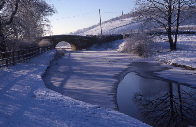
Image: © Michael Fox Taken: 30 Dec 2000
This bridge over the Huddersfield Canal marks the present day boundary between Oldham and Tameside. The Roughtown area of Mossley is visible atop the hillside at right.
Images are licensed for reuse under creativecommons.org/licenses/by-sa/2.0
Image Location
Latitude
53.529685
Longitude
-2.030284