M74 Northern Extension
Introduction
The photograph on this page of M74 Northern Extension by Thomas Nugent as part of the Geograph project.
The Geograph project started in 2005 with the aim of publishing, organising and preserving representative images for every square kilometre of Great Britain, Ireland and the Isle of Man.

There are currently over 7.5m images from over 14,400 individuals and you can help contribute to the project by visiting https://www.geograph.org.uk
M74 Northern Extension
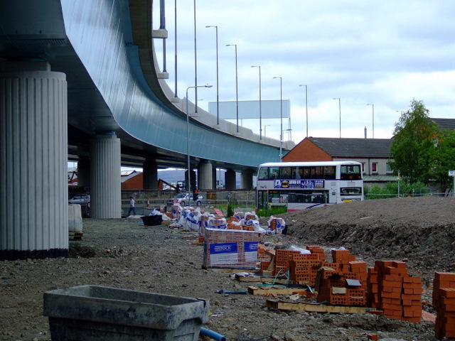
Image: © Thomas Nugent Taken: 31 Jul 2011
The massive Port Eglinton viaduct, viewed from Pollokshaws Road.
Images are licensed for reuse under creativecommons.org/licenses/by-sa/2.0
Image Location
Latitude
55.845806
Longitude
-4.260093