Sweetcorn on the side of Hobb Lane
Introduction
The photograph on this page of Sweetcorn on the side of Hobb Lane by Mick Malpass as part of the Geograph project.
The Geograph project started in 2005 with the aim of publishing, organising and preserving representative images for every square kilometre of Great Britain, Ireland and the Isle of Man.

There are currently over 7.5m images from over 14,400 individuals and you can help contribute to the project by visiting https://www.geograph.org.uk
Sweetcorn on the side of Hobb Lane
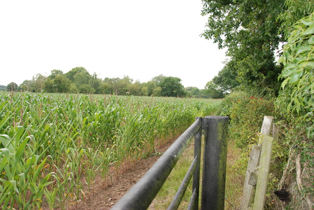
Image: © Mick Malpass Taken: 3 Aug 2011
The flower heads can be seen on the sweetcorn, it will most probably be chopped into silage for cattle feed.
Images are licensed for reuse under creativecommons.org/licenses/by-sa/2.0
Image Location
Latitude
52.85942
Longitude
-1.880844