Canal overflow, Brighouse
Introduction
The photograph on this page of Canal overflow, Brighouse by Humphrey Bolton as part of the Geograph project.
The Geograph project started in 2005 with the aim of publishing, organising and preserving representative images for every square kilometre of Great Britain, Ireland and the Isle of Man.

There are currently over 7.5m images from over 14,400 individuals and you can help contribute to the project by visiting https://www.geograph.org.uk
Canal overflow, Brighouse
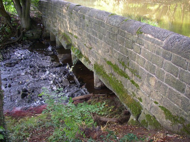
Image: © Humphrey Bolton Taken: 21 Sep 2006
This is opposite the confluence of the canal and Red Beck. The stream keeps the canal full, and any excess flow goes over a weir and out of these culverts, from which it is a short distance to the River Calder.
Images are licensed for reuse under creativecommons.org/licenses/by-sa/2.0
Image Location
Latitude
53.704154
Longitude
-1.79395