Footpath in Snotsdale Wood (2)
Introduction
The photograph on this page of Footpath in Snotsdale Wood (2) by David Anstiss as part of the Geograph project.
The Geograph project started in 2005 with the aim of publishing, organising and preserving representative images for every square kilometre of Great Britain, Ireland and the Isle of Man.

There are currently over 7.5m images from over 14,400 individuals and you can help contribute to the project by visiting https://www.geograph.org.uk
Footpath in Snotsdale Wood (2)
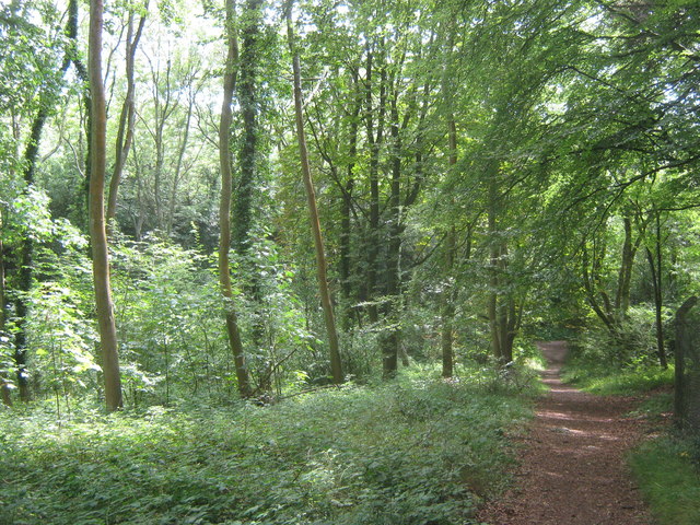
Image: © David Anstiss Taken: 31 Jul 2011
A path leads from Downe Road (near Farthing Street) past Biggin Hill Airport and Sow Wood, before reaching another path towards Jail Lane.
Images are licensed for reuse under creativecommons.org/licenses/by-sa/2.0
Image Location


Leaflet Map data © OpenStreetMap
Latitude
51.321638
Longitude
0.042753