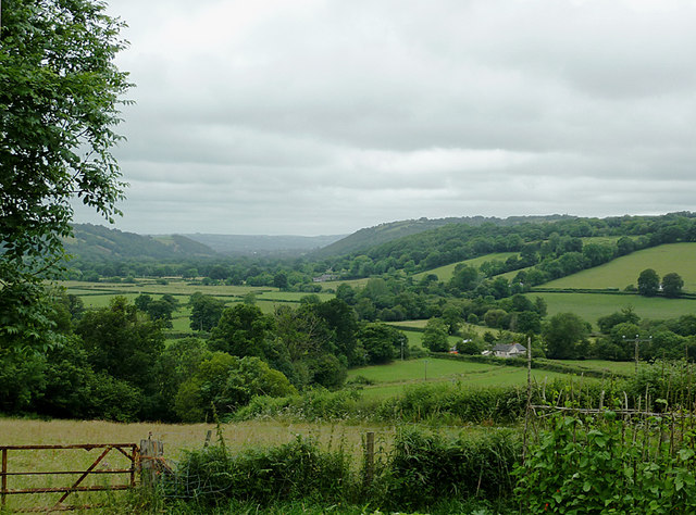
The Aeron Valley west of Llangeitho, Ceredigion
Introduction
The photograph on this page of The Aeron Valley west of Llangeitho, Ceredigion by Roger D Kidd as part of the Geograph project.
The Geograph project started in 2005 with the aim of publishing, organising and preserving representative images for every square kilometre of Great Britain, Ireland and the Isle of Man.
There are currently over 7.5m images from over 14,400 individuals and you can help contribute to the project by visiting https://www.geograph.org.uk

Image: © Roger D Kidd Taken: 19 Jul 2011
The land by the Afon Aeron has always been particularly known for its dairy farming, and the demise of smaller dairies and more recently, important cheese factories, is a result of the ever increasing demands of supermarkets for cheaper supplies from the industry in order to keep up their own profits while destroying those of the producers who try to maintain quality while paying higher costs themselves.

